
Good day, everyone!
The Storm Prediction Center has indicated a SLIGHT risk of Severe Thunderstorms OVER CENTRAL VA/SRN MD…THERE IS A SLGT RISK OF SVR TSTMS FROM NERN TX INTO SRN AR AND NRN LA…
SPC DAY 1 CONVECTIVE OUTLOOK

Due to the incident yesterday with tornadic activity, which appears to have been a surprise, I hope the following map may help. This is the STP output from the SPC SREF model. The dark orange areas indicate a 90% prob of a strong tornado or so should tornado activity be a a factor today.
SREF STP >3 PROBABILITY MAP


TROPICAL ATLANTIC
A Tropical Wave is is still present, moving toward the west at about 10 mph. The wave can be seen in satellite imagery, displaying a low amplitude inverted”v” signature.

ATLANTIC SATELLITE LOOP

Current and forecast wind shear products indicate a zone of strong westerly wind shear to remain in place over the Atlantic and Caribbean over the next 7-10 days.
CURRENT WIND SHEAR PRODUCT FROM CIMSS

GFS 180 HOUR SHEAR FORECAST

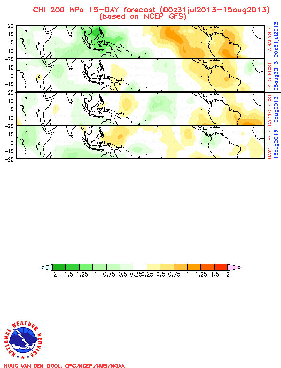
The GFS still indicates upward motion of the MJO to be in place through the end of the month, over the Caribbean Sea. Although models do not indicate any mischief, strong ridging forecast to be over the eastern portion of the U.S. could be a setup for possible situational development, although I am not looking for this at the moment.
GFS MJO FORECAST MAP
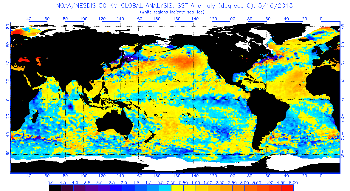
SST Anomalies have leveled off a bit over the Equatorial EPAC, however the cooler anomalies have spread out somewhat. The Atlantic MDR has cooled slightly, however as we get into a forecast negative NAO, I expect this to recover.
CURRENT OPERATIONAL SST ANOMALIES
Elsewhere, Tropical Storm formation is not expected during the next 7-10 days.
Have a blessed day!


Yes, more of an East Coast threat or yes, the GOM should be more on an alert?
Both.
Hmmmm, Will keep a look out for sure then.
Thanks Storm…looks like Alvin’s going to flop. I’m with TexasHurricane…what’s up for the GOMEX?
Hi Storm, I think before you said you were thinking more of an East Coast threat this season. Is this still your thinking or should we by the GOM be more on alert?
Looking at what has been posted from Dr. Gray, and the possible set up, yes.