SEVERE WEATHER RISK: MODERATE
TROPICAL STORM FORMATION: SUB-TROPICAL STORM
ALL forecasts contained on this site, are based on my analysis and knowledge of various forecast tools, including information contained in NHC products, and are not copies from any other entity.
This office is now switching to Tropical Weather Forecast mode. I will try, if time allows, to include severe weather, however, the added analyses would consume more time than I’d prefer, making my synopsis post later in issuance.
Good day!
Subtropical Storm ANA remains pretty much stationary off the SEUS coast, approximately 170 miles SSE of Myrtle Beach, S.C. As of the 11:00 a.m. advisory from the NHC, the following was available on ANA:
11:00 AM EDT Fri May 8
Location: 31.5°N 77.3°W
Moving: Stationary
Min pressure: 1001 mb / 29.56 in
Max sustained: 45 mph
Recent satellite loop images of various channels indicate the heaviest convection remains south of the center of circulation, but may be trying to consolidate closer to the center. Water Vapor and TPW imgery indicates dry air intrusion on the eastern periphery, which is also verified by numerous outflow boundaries in RGB loop imagery.
NOAA SUBTROPICAL STORM ANA FLOATER IMAGERY LOOPS
Based on my analysis of current sst’s, current and forecast wind shear, and forecast steering, upper level winds are forecast to become somewhat more favorable during the next 24 hours. Based on this, and current forecast motion, ANA has about an 18 hour window for some slight intensification. IF she remains stationary over the warmer Gulfstream waters, she has a slim chance at transitioning to a Tropical Storm. This will depend on her ability to fight off the dry air, and the ability for the core to become a fully warm core system. Most recent AMSU data indicates the core has not fully warmed.
Based on these analyses, I agree with the NHC Intensity forecast, which is in concurrence with the majority of the Intensity Forecast modeling. ANA should begin to weaken within the next 36 hours, which would coincide with her reach the cooler shelf waters close to the coastal area, just prior to landfall. The current Watches / Warnings are in effect:
NHC WATCH / WARNING GRAPHIC (LINKED)

WATCHES AND WARNINGS
——————–
CHANGES WITH THIS ADVISORY:
A Tropical Storm Warning has been issued from South Santee River
South Carolina to Surf City North Carolina.
SUMMARY OF WATCHES AND WARNINGS IN EFFECT:
A Tropical Storm Warning is in effect for…
* South Santee River to Surf City
A Tropical Storm Watch is in effect for…
* Edisto Beach South Carolina to South of South Santee River
* North of Surf City to Cape Lookout North Carolina
A Tropical Storm Warning means that tropical storm conditions are
expected somewhere within the warning area within 36 hours.
A Tropical Storm Watch means that tropical storm conditions are
possible within the watch area, in this case also within 36 hours.
Interests elsewhere in eastern North Carolina should monitor the
progress of Ana.
For storm information specific to your area, including possible
inland watches and warnings, please monitor products issued by your
local National Weather Service forecast office.
Residents along the watch area should prepare for Tropical Storm force winds on the order of 40 – 50 mph. Heavy rainfall will most likely cause localized flooding. Minor coastal flooding and minor beach erosion can occur at the time of high tide. It is recommended residents of these areas stay away from beaches and off the water.
The following are wind and wave maps from STORMSURF, which uses information from the GFS model.
Residents should follow local NWS Statements and Advisories pertaining to this system. Please click the following map for linked NWS local statements:
Based on my analysis of current and forecast steering layers maps, ANA is in an area where steering currents are almost non existent at the moment. Based on the recent Dynamic Model guidance, a motion to the NW or NNW should occur within the next 12 hours or so. Based on my analysis of steering, and 850 mb height maps, it appears the subtropical ridge will build to the east and NE, basically raising 850 mb height anomalies higher to the east and NE of the storm, in which heights will be weaker west of the system. Putting all of this together, ANA should, based on these analyses at the moment, make landfall sometime on Sunday, between Myrtle Beach and the SC / NC border. Slight differences in track could occur between now and Sunday, but this appears to be the most likely target area at the moment, and is pretty much inline with guidance and the NHC official track forecast.
ATCF 12Z DYNAMIC MODEL GUIDANCE

I will try to have a brief update this evening some time.
The SPC has designated a MODERATE risk of Severe Thunderstorms for the Day 1 and Day 2 Convective Outlooks:
SPC DAY 1 CONVECTIVE OUTLOOK (LINKED)

Based on my analysis of graphic data output using solutions from both the NAM-WRF and GFS models through F5 DATA software, in conjuncture with these current outlook maps, the greatest threat for tornadoes at the moment appears to lie within the ENHANCED and MODERATE risk areas for both days. This could change, but I will not be here tomorrow to update. Indications of parameters are that some tornadoes could be strong, and long tracked, as of the most recent event. PLEASE use the linked graphics for up to date information…you have to actually click on the graphics in order for the updates.
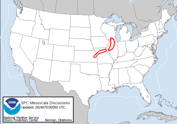
SPC MESOSCALE DISCUSSIONS DISPLAY

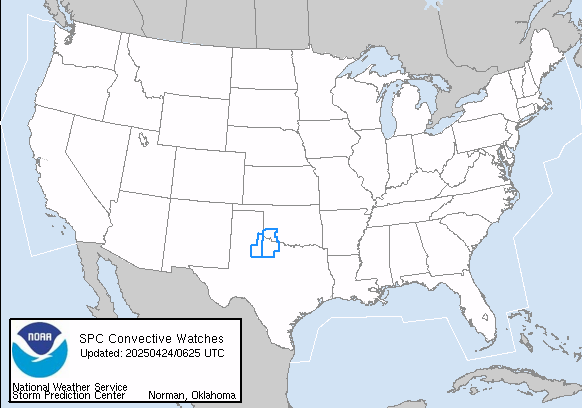
NWS HAZARD, WATCH AND WARNING DISPLAY (LINKED)

Have a blessed day!
T. F. “STORM” WALSH III GMCS, USCG (ret)
METEOROLOGIST / HURRICANE SPECIALIST / SEVERE WEATHER SPECIALIST MEMBER WEST CENTRAL FLORIDA AMS
CoCoRAHS OBSERVER


Thanks, Monty. Hey gimme some of that “stuff”! 🙂
Sorry LT. Been smoking too much crack. Thought I saw Dellamoms name. Well…happy Mothers Day to you and yours!!
Ana making “Landfall” this Mother’s Day Morning in SE NorthCarolina, NE S.C. areas. Shouldn’t be too bad, lets hope.
Not looking like it Dellamom. HAPPY MOTHERS DAY!!!!!!!!!!!!!