
ALL forecasts contained on this site, are based on my analysis and knowledge of various forecast tools, including information contained in NHC products, and are not copies from any other entity.
You may click on the graphics for animations and close in views
DONATIONS REQUESTED

Good day everyone!
Quiet again today in the Tropics.
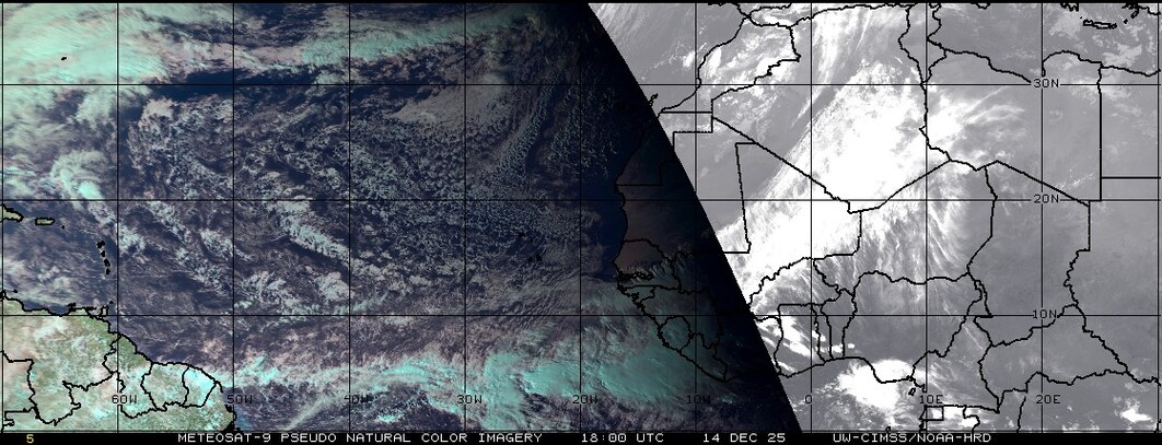
ATLANTIC WIDE IR4 SATELLITE LOOP

WATER VAPOR LOOP

Analysis of Global Models indicates none of the models show any type of development over the next 7 – 10 days. I am keeping tabs on an area that is crossing the Yucatan Peninsula area, as steering suggests it should wind up in the BOC…however upper level winds are forecast to remain non conducive for any development.
Looking at the grand scheme of things, I am not really looking for anything to develop over the next 10-14 days, especially in the Atlantic Basin…as long as the Azores / Bermuda high continues to sit at around 1028 – 1032 mb, it is going to be tough to have any increase in vertical instability, which is well below average over the Atlantic. Another SAL outbreak is noted coming off Africa. Models remain split on the forecast of the MJO, but there may be a possibility of an upward motion phase over the Atlantic near months end. I know this is short…but basically, it’s boring out there right now.
TROPICAL ATLANTIC VERTICAL INSTABILITY

SAL SATELLITE VIEW
OLR ( Outgoing Longwave Radiation) ANOMALY FORECAST

Tropical Storm formation is not expected through the next 5 – 7 days.
Have a blessed day!
T. F. “STORM” WALSH III
GMCS, USCG (ret)
METEOROLOGIST / HURRICANE SPECIALIST / SEVERE WEATHER SPECIALIST
MEMBER WEST CENTRAL FLORIDA AMS
CoCoRAHS OBSERVER
OFFICIAL SKYWARN SPOTTER (ADVANCED)


Thanks for the report Storm! I’m leaving out of Miami July 26th on a 7 day cruise to Bahamas, Grand Turk, St. Thomas and Puerto Rico. Do the models indicate I have anything to worry about during that time period for those areas?
Right now…no. The only model that goes out that far from today is the GFS, and it shows nothing. Will have a much better idea, once the models all come within a 5-7 day time frame.
Mr storm thanks for the update. Mr storm if it’s still like this next month can we say still low numbers on storms out there?
Still looking like lower numbers right now, Greg.
Thanks Storm.
Thanks Storm. I’m sensing a return episode of the “Maytag Repairman Syndrome”. One good blast and that’s it…hello El Nino??
Well, the onset of El Nino can’t make up it’s mind. There has been a sustained westerly wind burst, but the waters have not warmed anymore.
Damn Storm…this is confusing.