SEVERE WEATHER THREAT: SLIGHT
TROPICAL STORM FORMATION PROBABILITY: NONE
Good evening!
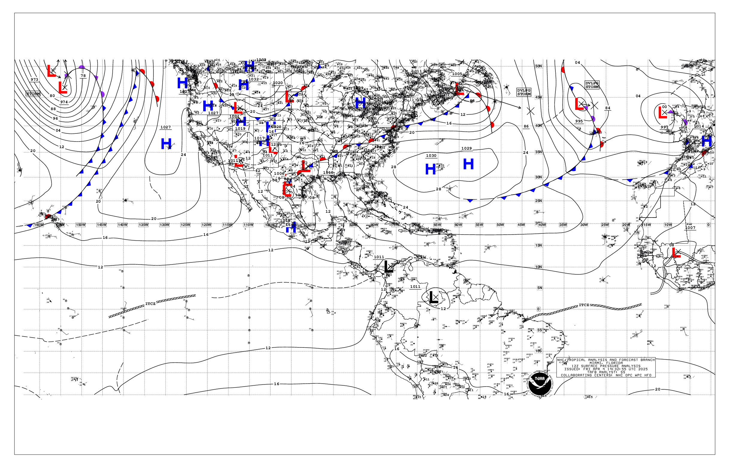
Our first Tropical Wave was initialized on the 12Z Surface Analysis Map from the NHC.

The wave is currently located at approximately 7N;38W. The wave is moving toward the west at about 10-15 mph.
CENTRAL ATLANTIC SATELLITE LOOP

Wind shear across the basin is still rather brisk, and on the order of 20-30 knots, based on analysis of the shear map from CIMSS. The Current GFS Wind Shear forecast indicates shear to remain at non conducive levels over the next 72-96 hours. Based on these parameters, Tropical development is not expected form this wave.
WIND SHEAR AND WIND SHEAR FORECAST
Analysis of Global Models indicate an on/off situation, with the latest run of the GFS and GGEM indicate a surface low off the Eastern Seaboard in about 10-14 days. Earlier, one of the models suggested a storm crossing from the EPAC toward the SW Caribbean in about 12-14 days. I will keep tabs on that as time gets closer.
Elsewhere, Tropical Storm Formation is not expected through the next 96 hours.
T. F. “STORM” WALSH III
GMCS, USCG (ret)
METEOROLOGIST / HURRICANE SPECIALIST
MEMBER WEST CENTRAL FL AMS
CERTIFIED SKYWARN OFFICIAL STORM SPOTTER (advanced)
CoCoRaHS OBSERVER


But it’s not June! (Just kidding!) Looks like you are on target as usual, Storm. As unusual as our weather has been this year, colder and wetter, I am glad the northshore house is complete enough to live in … we just need lights, fans, a fenced dog-yard and window coverings. If we do get anything impressive here in Southeast Louisiana, I expect we will have a full house. God bless you Storm for keeping us informed.
Hi dellamom, did you ever get your weather station up and running? ( you may have told me but I forgot)
You are very welcome!
Thank you Storm, again.
Thanks Storm. What do you think of the possibility of TS Alvin?
Looks like it may have a good chance…I haven;t analyzed anything out that way, so I’m just taking a stab at it